The Sea of Marmara
The Sea of Marmara is an inland sea separating the Asian and European continents. It connects to the Aegean Sea via the Dardanelles Strait and to the Black Sea through the Bosporus Strait. The Sea of Marmara extends 110 nautical miles in a north-south orientation and 35 nautical miles from east to west. With a surface area of 11,500 km², the sea reaches a maximum depth of 1,270 meters. The Sea of Marmara is surrounded by mountainous terrain. The southern shores feature steep, craggy mountains rising sharply from the water. The southern coastline encompasses the Gulf of İzmit, the Gulf of Gemlik, the Gulf of Bandırma, and the Gulf of Erdek. Surface currents flow predominantly in an east-west direction. The sea level at Istanbul Strait is 0.4 meters higher than at the Dardanelles. Currents from the Black Sea enter the channel at full strength but diminish in velocity upon reaching the Sea of Marmara, flowing toward the Gulf of İzmit and extending along the Thracian coast via the Princes' Islands to Gelibolu and the Dardanelles at approximately 0.5 knots. A two-layer hydrological exchange occurs between the Mediterranean and Black Sea waters. The Black Sea outflow is cooler and less saline, flowing over the warmer, more saline Mediterranean inflow due to density differences. The higher water level in the Black Sea drives this continuous exchange with the Mediterranean through the Turkish Straits, which connect the Black Sea with the Aegean Sea. As an inland sea, the Sea of Marmara experiences varying regional climate conditions. The northern coastal areas have moderate winters, while western Anatolia exhibits a mild Mediterranean climate. Annual precipitation ranges from 500 to 1,000 mm, with the highest rainfall occurring during December, January, and February. The annual average temperature is 14-16°C, with summer months averaging 23-25°C and winter months averaging 5-6°C. Northerly winds are predominant, with the northern shores experiencing stronger winds. The southern coastline is generally sheltered from prevailing winds.
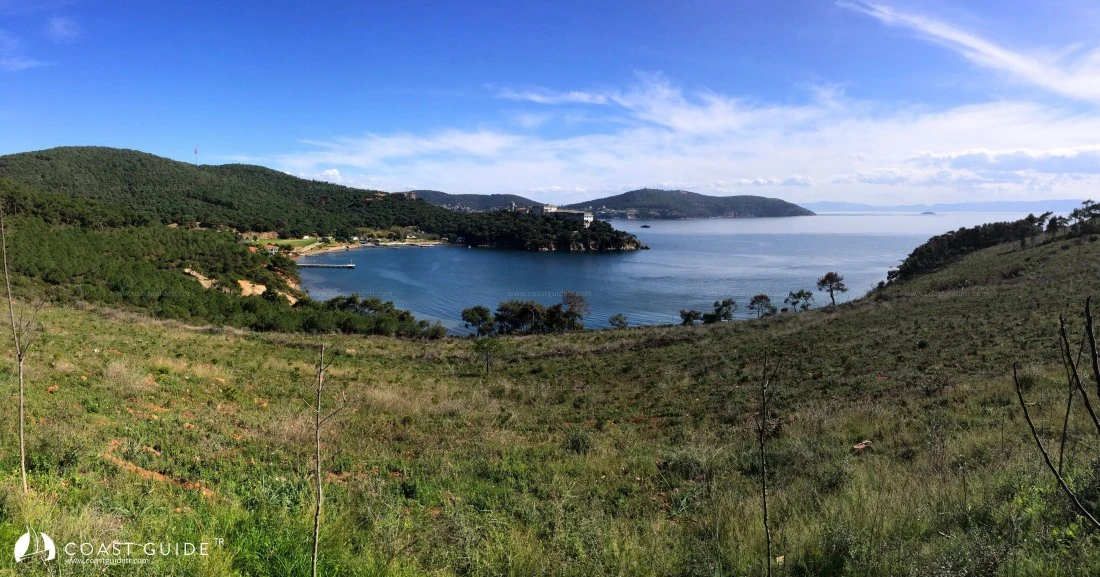
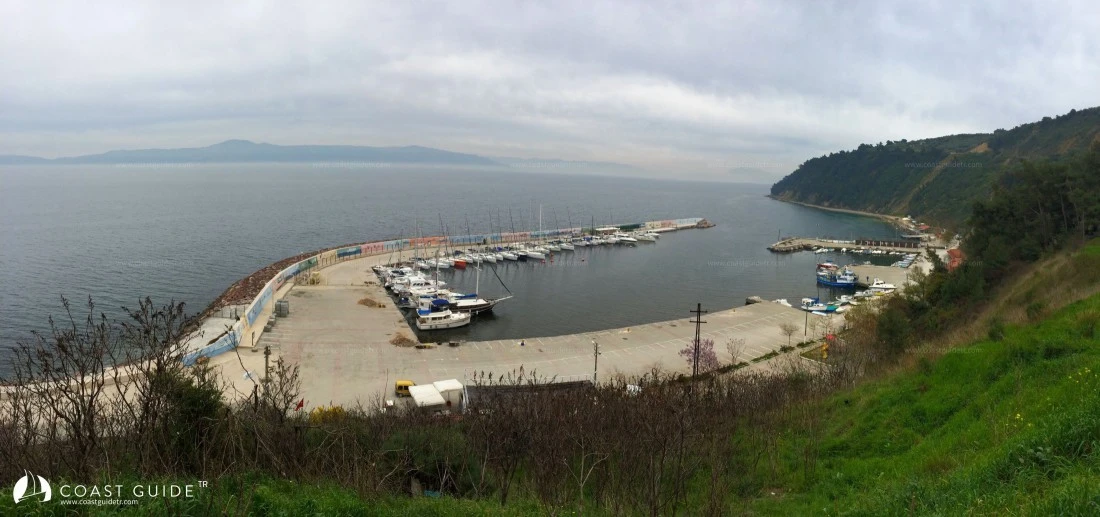
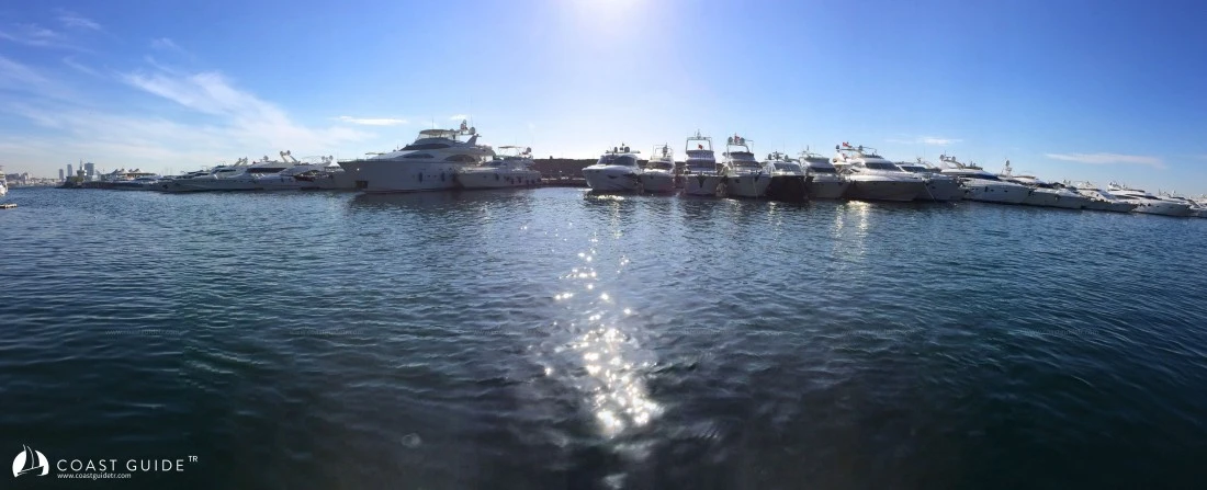
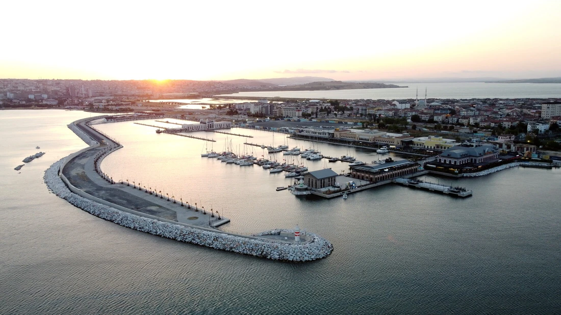
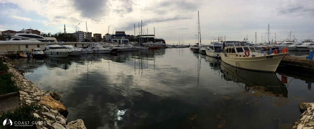
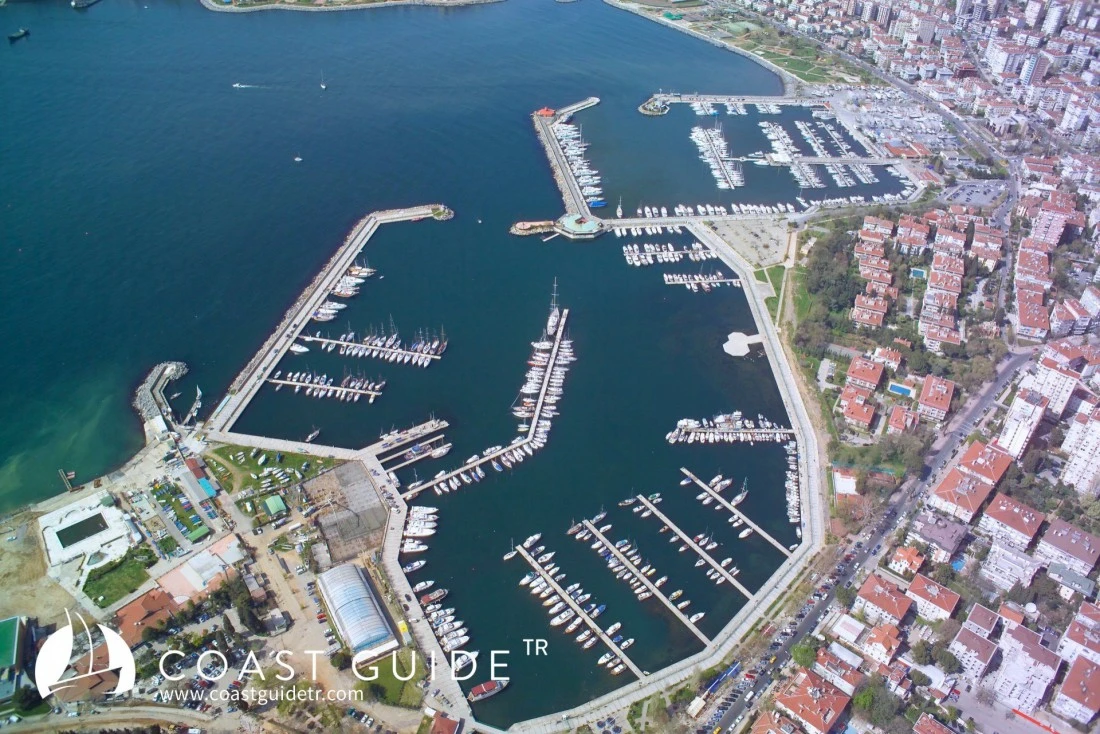
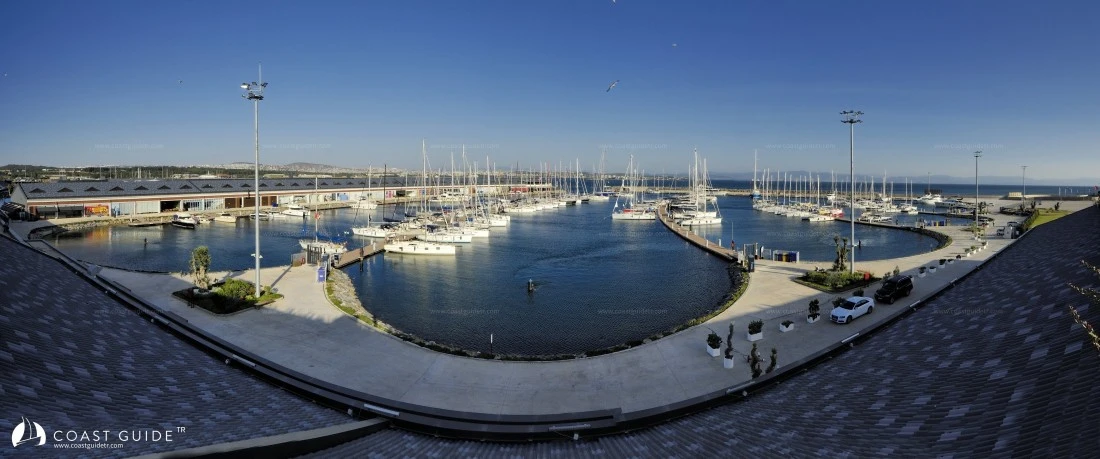
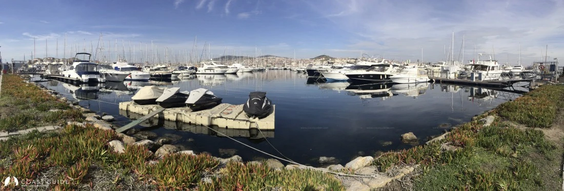
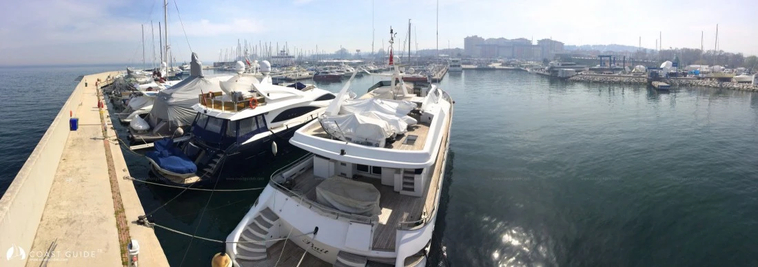
Prevailing winds blow stronger in July and August but diminish in June and September. Strong northerlies can occasionally become violent and adversely affect vessels. These severe winds and currents particularly impact boats cruising northward. It is highly recommended that vessels maintain close proximity to shore to reduce the effects of northerly winds. Careful passage planning is essential, especially when transiting the Dardanelles Strait. The waterway experiences heavy commercial vessel traffic and narrows considerably in certain sections. Maintain vigilant watch on vessel traffic separation schemes and navigation buoys. All shoals and headlands are equipped with navigational lights. The current in the strait flows in an east-west orientation. The Turkish Coastal Safety and Salvage Administration maintains traffic control authority throughout the strait. The mandated transit speed limit for vessels is 10 knots. Within our system, we provide comprehensive information on optimal berthing and anchorage locations. Eight marinas operate throughout the region. The coves surrounding the Princes' Islands and Marmara Islands offer adequate anchorages with attractive natural settings. Numerous lighthouses mark the region's coastline. Those positioned on the European shore display green lights, while those on the Anatolian coast emit red lights. The Marmara region is the smallest yet most densely populated of Turkey's seven geographical regions. The area accounts for approximately 50% of the country's industrial output. Istanbul's airports provide international connections to destinations worldwide. Istanbul serves as Turkey's primary business and industrial hub, where all types of provisions and marine services are readily available. This magnificent city seamlessly blends its rich historical heritage with modern development. Istanbul stands as the gateway connecting Europe and Asia.