The Southern Shores of Datça Peninsula
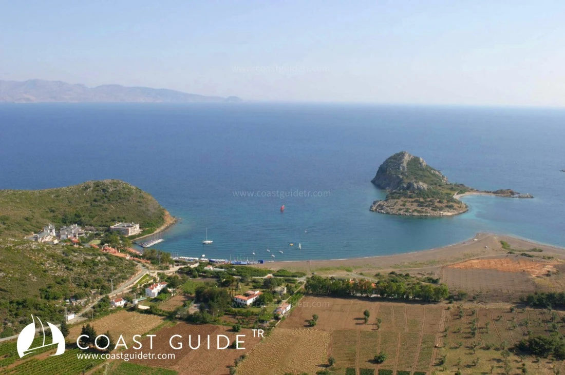
Under this heading, we will cover the 30-mile coastline of the Datça Peninsula, starting from Knidos (36°40'58"N - 27°22'41"E) in the west and extending to Kurucabük Bay (36°45'19"N – 27°53'76"E) in the east.
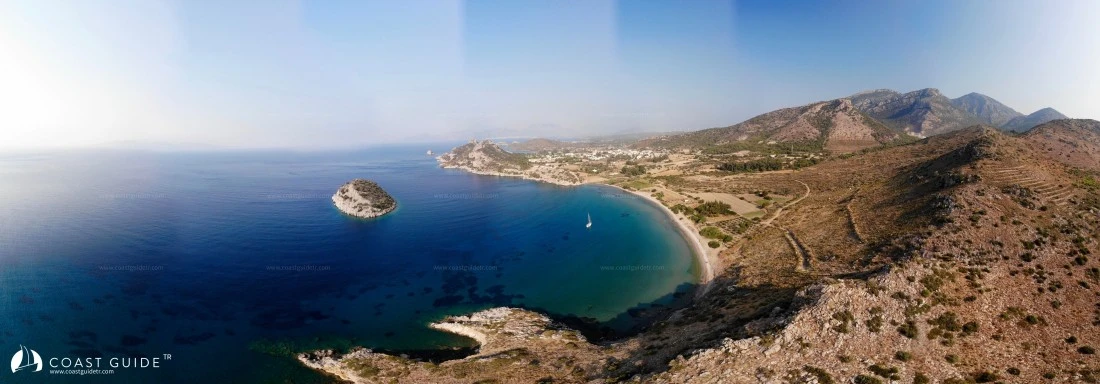
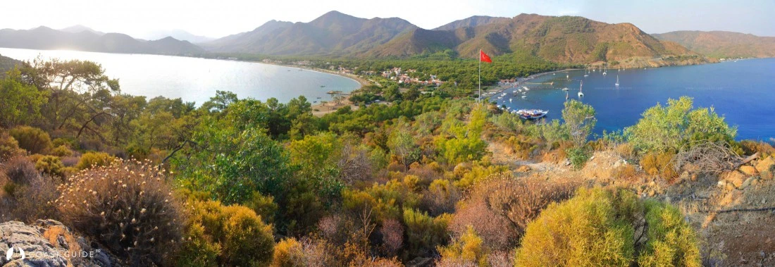
The terrain structure north of the coastline has a mountainous and rugged structure, which are typical characteristics of the Aegean region.
The peninsula, which begins with Karadağ (786 m.) in the west, ends in Datça after a 19-mile coastline with high mountains in its extension. It connects to Bozdağ (1174 m.) after the plains of Datça, Reşadiye and Emecik and continues.
After Datça, Kurucakbük comes after 11 miles and these are the areas we will cover under this heading.
The westernmost of these areas, the waters off Knidos, are locations that require attention. Northerly winds, rough and confused seas generally make navigation difficult in this area. It is advisable for those not entering Knidos to pass offshore. From Knidos eastward, the high mountains to the north make their effect felt as northerly winds with strong squalls and showers.
Off the flat areas after Datça, the weather, which is generally calm in the morning, shifts towards noon again from the north, from the Gökova Gulf to this side, and continues with showers until sunset.
During summer months, prevailing winds are from the north. In spring and autumn, southerly winds begin.
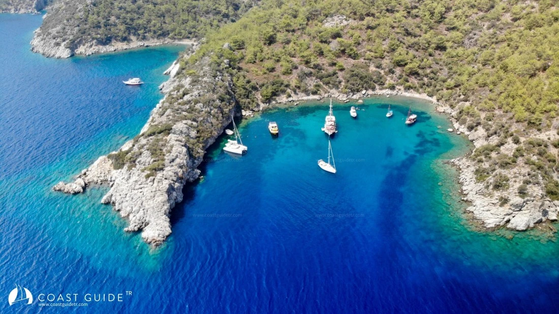
Almost all bays along this coastline are north-protected bays facing south. When southerly winds blow, the number of sheltered anchorages is limited.
This region is not oppressive even during summer months. Humidity is low, winters are mild and rainy, but the wind blowing from three sides of the peninsula protects from the dry summer heat and offers cool air. 66% of the peninsula is forest area, 18% is sparse scrubland and rocky terrain, and 16% is agricultural land.
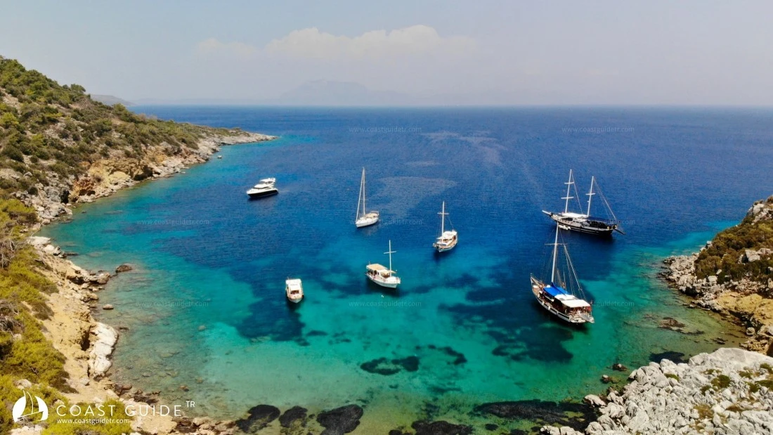
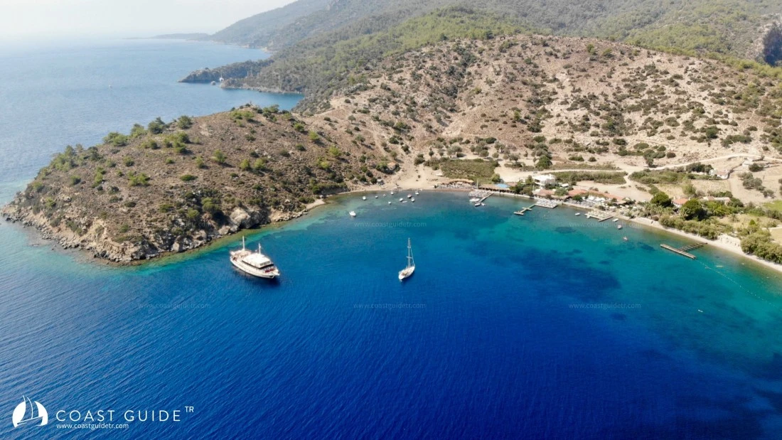
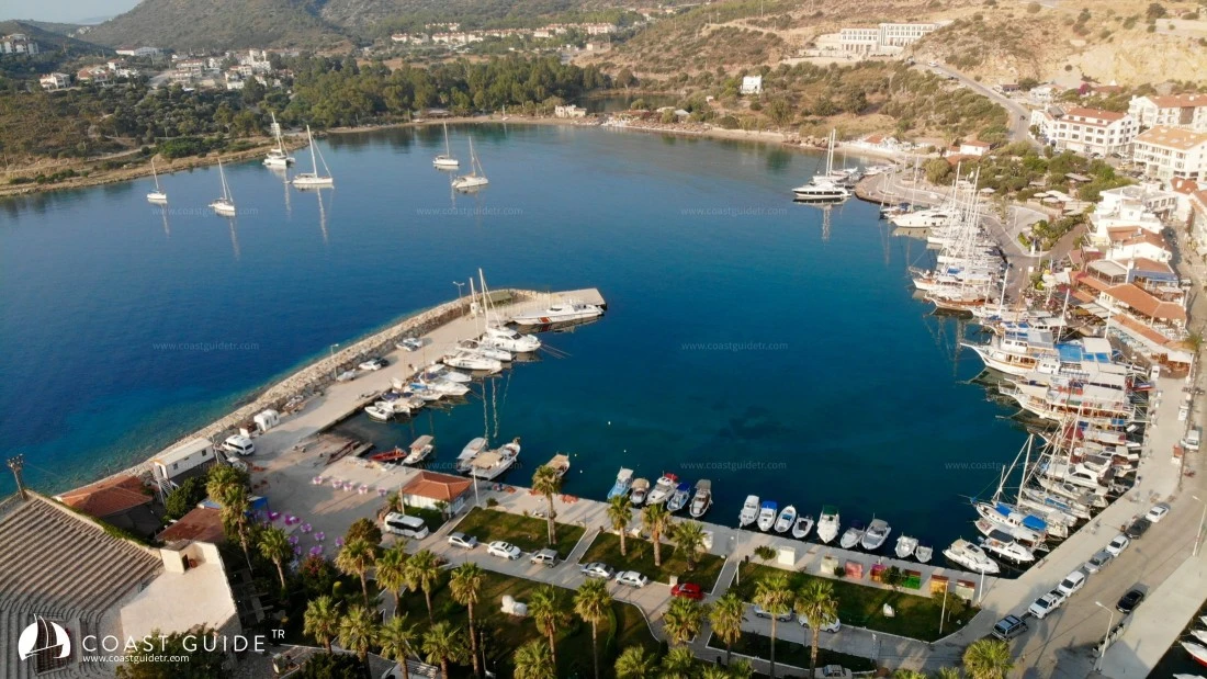
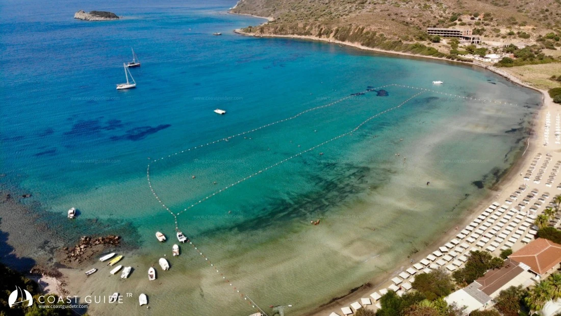
On this coast, there are particularly many sheltered bays, harbors and piers. Road connections are available from almost every point.
It is a region intertwined with history. There are very important historical sites to visit. With its pristine coves and lively centers, it has all options. It has a crystal-clear sea that never suffers from pollution. It is the region where fishing is most abundant.
It is a coastline where you can easily find supply, security, and health facilities.
It is a region famous for its agricultural areas and special products. It is the region with the most organic agricultural areas in Turkey.
Although the seas are deep, there are generally shoals at the extensions of the capes. It is advisable as a precaution to navigate at least 100 meters offshore when passing these areas.
1 ) Hayıt Bükü Cove Inner Shoal,
2 ) Karataş Cape Shoal,
3 ) Yassı Island Shoals,
4 ) Karaincir Islands Shoals,
5 ) Attention must be paid to the shoals in the vicinity of Adatepe Peninsula.
CHART :
311 – 3112 – 3112 E
Video