Edremit Gulf
Charts:
214 – 2145 Printed by Turkish Navy, Department of Navigation, Hydrography and Oceanography
1061 – 1087 British Admiralty
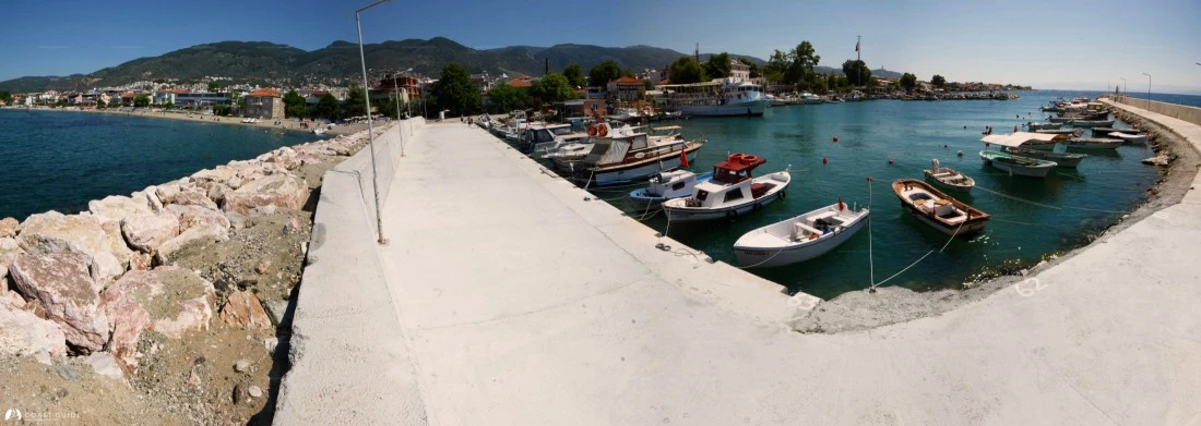
Edremit Körfezi (Edremit Gulf) offers adequate anchorages from Mıhlı Point on the northern shore to Maden Adası on the eastern coast. The gulf's northern shoreline is characterized by rocky mountains covered with pine and olive groves. The legendary Kazdağı (Mount Ida), reaching an altitude of 1,750 meters, dominates the landscape and is renowned for its exceptionally clean air. The eastern shore encompasses the fertile Edremit valley, known worldwide for its olive production.
The fairway is generally clear of obstacles, with one notable exception on the southern coast at Bozburun, marked by an iron-based light tower (Fl 5s 35m 10M). Exercise caution when navigating this area due to breaking waves and submerged rocks and islets close to shore. Careful chart plotting is essential when coastal cruising along this shoreline.
Prevailing winds during summer months are from the north and northwest. These winds typically commence around midday and moderate by late afternoon. Occasionally, northerly and northwesterly winds intensify significantly, blowing continuously and generating steep, closely-spaced wave patterns with pronounced vertical displacement.
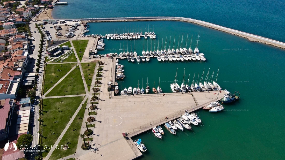
The gulf has limited port facilities offering secure berthing, and most anchorages are suitable only in fair weather conditions. Exercise caution when entering anchorages and harbors.
The region features unique landscapes and numerous historical and archaeological sites. Most provisions are readily available, land transportation infrastructure is well-maintained, and an airport serves the area.
Water and electricity connections are available at harbor facilities. Mechanical and electrical repairs can be undertaken at local workshops. Chandlery supplies are limited, with the most comprehensive facilities located at Ören Shelter.