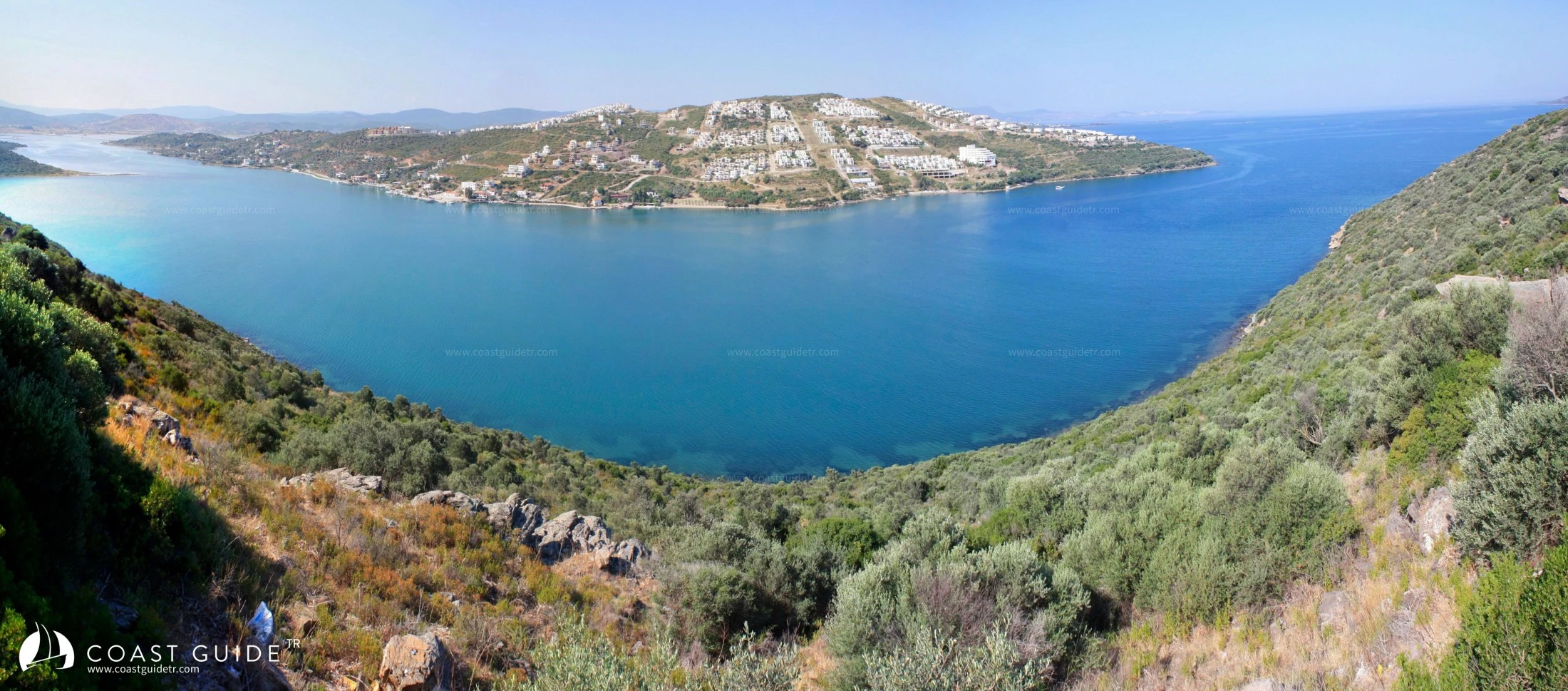
Ülelibük - Varvil Bay
It is a wide bay that extends southward between Marata Point and Asar Point.
It shallows immediately after halfway, where Bükgöl Lake begins. To the west of the lake is the Bargylia historical site.
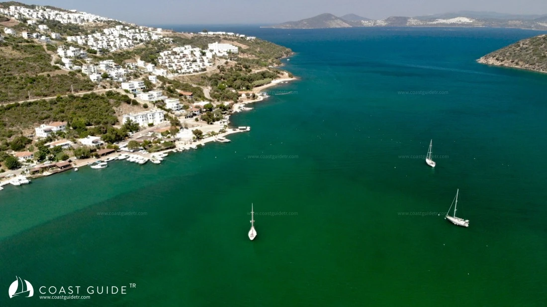
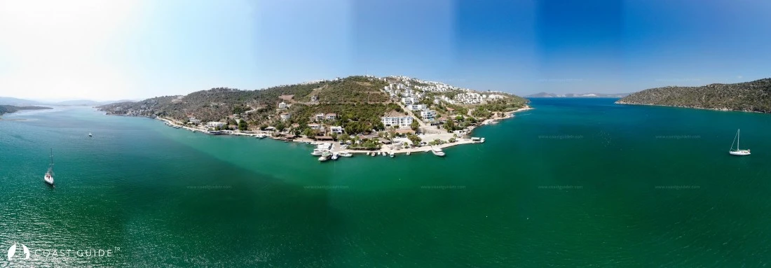
The surroundings of the bay are wooded. This green and beautiful area continues to Boğaziçi Village, which is on the starboard side at the entrance of the bay. Then the high hills descend and the land becomes barren. You can enter the bay up to 3 meters depth and anchor on muddy bottom. The bay is sheltered from west-southwest winds. It receives swell from outside.
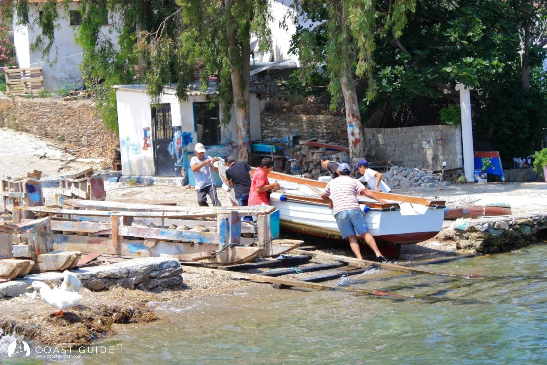
The small pier of Boğaziçi fishing village can accommodate 4 boats. Water and electricity are available. This pier is managed by the village headman (0252-524 52 04). In Boğaziçi village there are small charming cafes, fish restaurants and guesthouses.
The health team comes to the village on Wednesdays. Apart from this, there is Akyol Health Center 10 km away.
Marine Chart
Initializing...
Video

Capture the beauty of this bay with your photos
Comments
Anchorage, depth, wind protection... Your experience guides fellow sailors